Doe Mountain Trail
/
Another trail that’s on the western end of Sedona is the Doe Mountain Trail. This shorter trail has a much steeper incline than most of the surrounding trails, but offers some amazing views at the top. The hike up isn’t too difficult considering the overall elevation change.
The trailhead parking lot for Doe Mountain is fairly close to the nearby Boynton Canyon Trailhead and is relatively easy to get to. From the 89A in Sedona turn onto Dry Creek Road and follow it until the stop sign where you turn left onto Boynton Pass Road. At the next stop sign turn left and continue on Boynton Pass Road. Pass the Fay Canyon Trailhead parking and continue down the road till you reach the parking area for Doe Mountain.
Like many of the other trails, this parking lot requires a parking pass, and there is a machine here as well that will distribute one if needed. This trail is less popular so finding parking is much more likely. If the lot is full there is plenty of space along the nearby roadside for hikers to park.
From the parking lot the trail to the top of Doe Mountain is only 0.6 miles, but there is quite a bit of elevation change. Fortunately, the way the trail winds up the mountainside makes the ascent a lot easier than one would think.

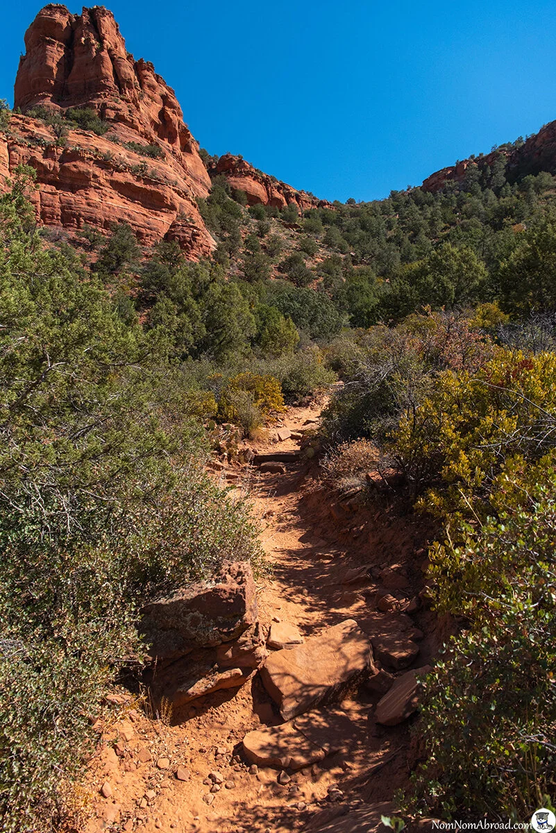


The most difficult part of the hike came just near the final part of the climb up. The trail gets a little steep, but it’s nothing too hard to get through.


Once we were at the top the trail basically goes to a viewpoint at the eastern end of the mountain. From here we had some fantastic views of the valley below and all the rock formations beyond it. It’s easy to forget there’s a large town off in the distance since it’s rather hard to see and most of the buildings blend in with the surroundings.


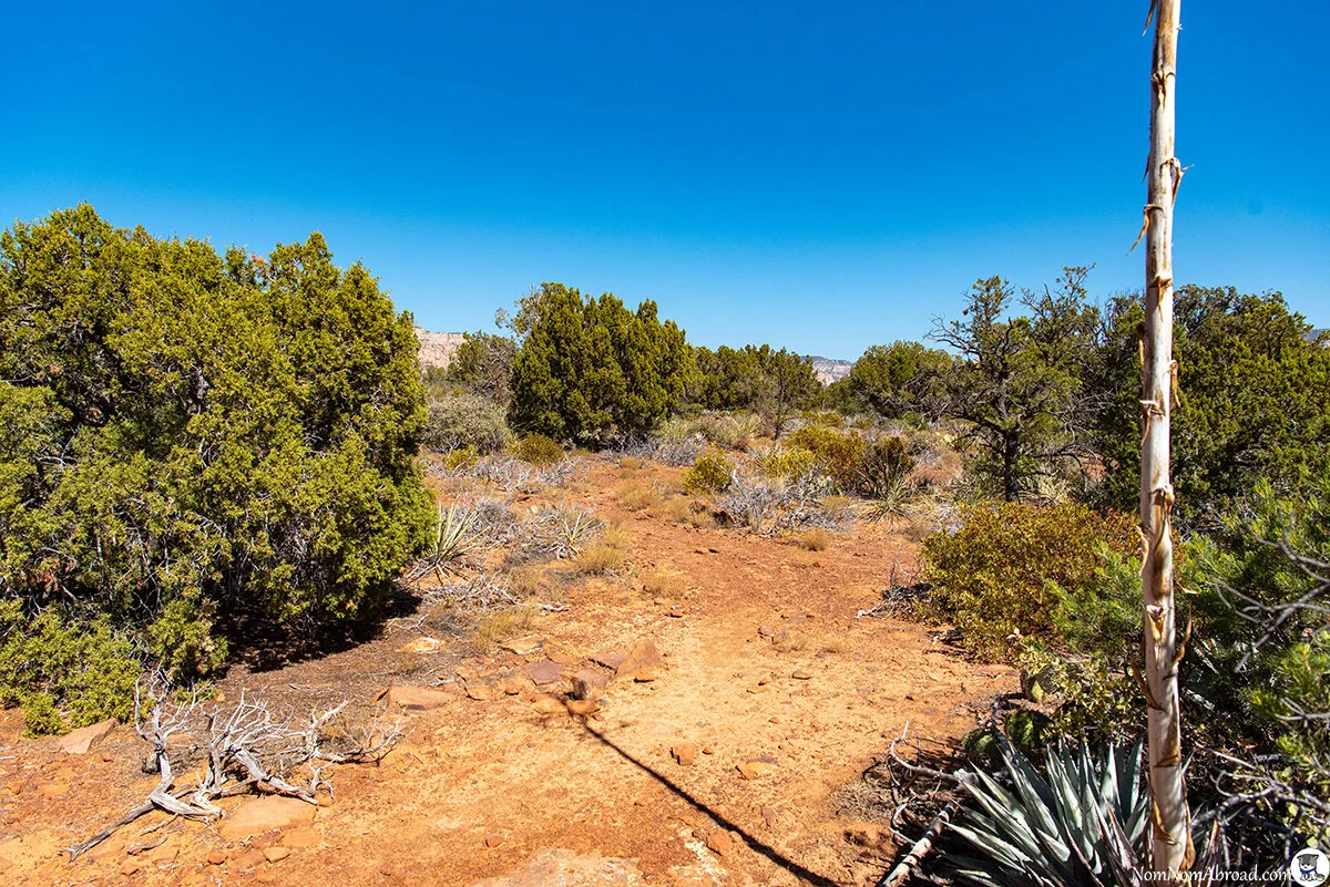
Instead of heading back we wanted to see some more views from other parts of the mountain, and we followed some trails that took us along the cliff edge.


The trails along the edge are more defined and easy to follow, and we used them to get to many viewpoints as we headed to the southern end of the mountain.


Although there were many cars in the parking lot, we hardly saw anyone on top of the mountain. This is probably due to the large area up top that easily lets hikers find some seclusion.
Once we got to the southern end of the mountain we decided to trek through the middle of it to get back to the trail and find a different vista. This was a mistake. The middle of the mountain has sporadic paths that aren’t used often and easily disappear. Many times we started to follow what we thought was a trail only to find a dead end. Most of the area is filled with bushes and cacti, so venturing through them off the trails can cause scrapes and cuts. We eventually had to just push through some bushes till we finally came upon the main trail that leads to the path down.


We went to check out one of the other spots at the top to see what view it offered.


Then we headed back to the trail to head down the mountain. Finding the trail down can be a little difficult since it isn’t well defined like many trails, but we followed the nearby marker and was easily able to find it.


Doe Mountain offers some amazing views of western Sedona. The short and moderately difficult climb makes it something most people can do. The views it offers would particularly be great for both sunrise and sunset.
Google Maps Link: Doe Mountain Trail